


Walking
Free audio walking tour of Cardigan town
Reveal the hidden history of Cardigan town with family and friends on an audio walking tour. This free audio walking tour provided by Cardigan Walks digs into Cardigan’s rich history from its founding in 1110, sharing the stories of prominent landmarks throughout town. Over the tour, you’ll better understand the town and the people and events impacting the area.
Visit the Cardigan Walks page to listen to the audio tour. There is over 50 minutes of audio to listen to and 10 landmarks to visit.
Cardigan area walks
Walkers can now enjoy a series of newly developed circular walks in the Cardigan area ranging between four and a half and six and a half miles taking in some beautiful sections of the Teifi Valley and the coast. Two of these walks connect with the All Wales Coastal Path.
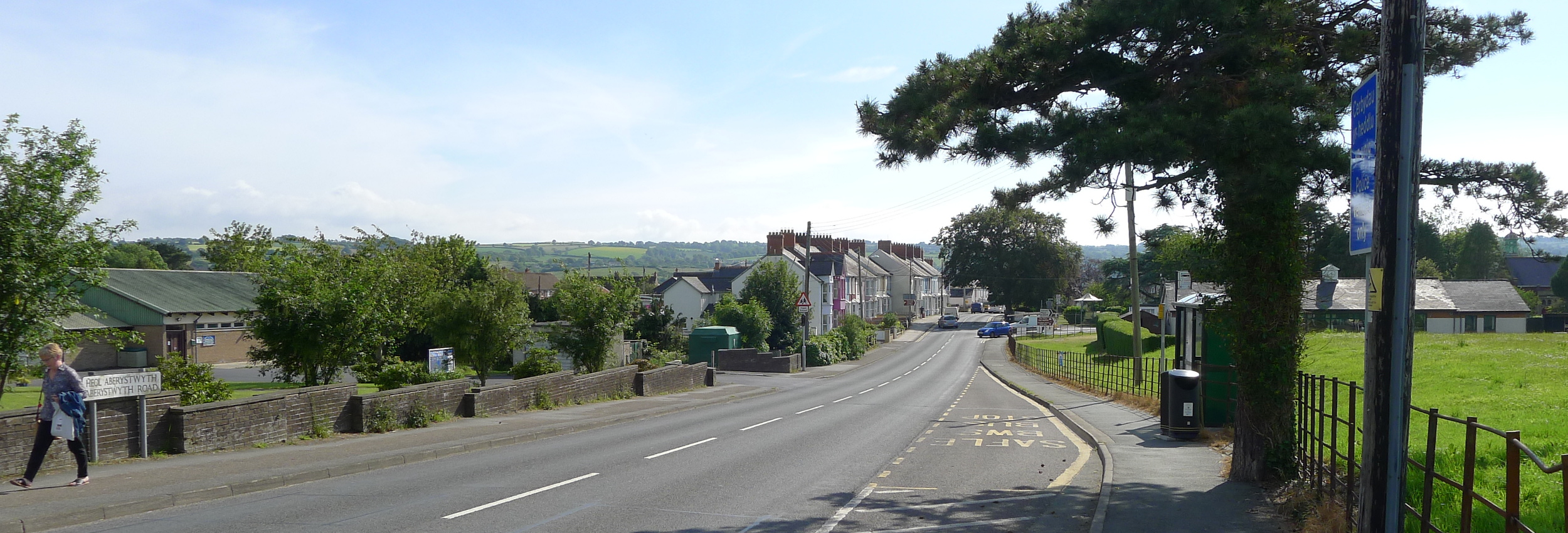
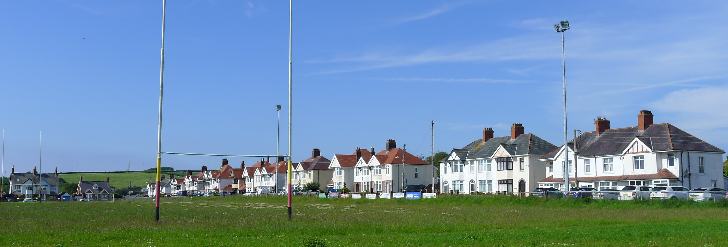
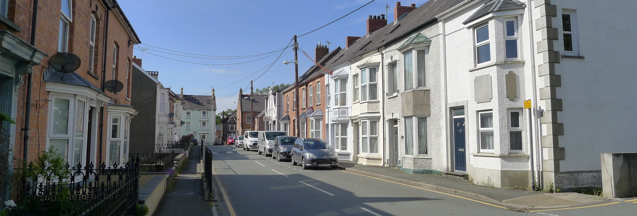
The peaceful Cardigan area with its range of coastal, hill, woodland and rural landscapes, offers a range of walks from gentle strolls along quiet country lanes to long walks on wild cliff-top tracks.
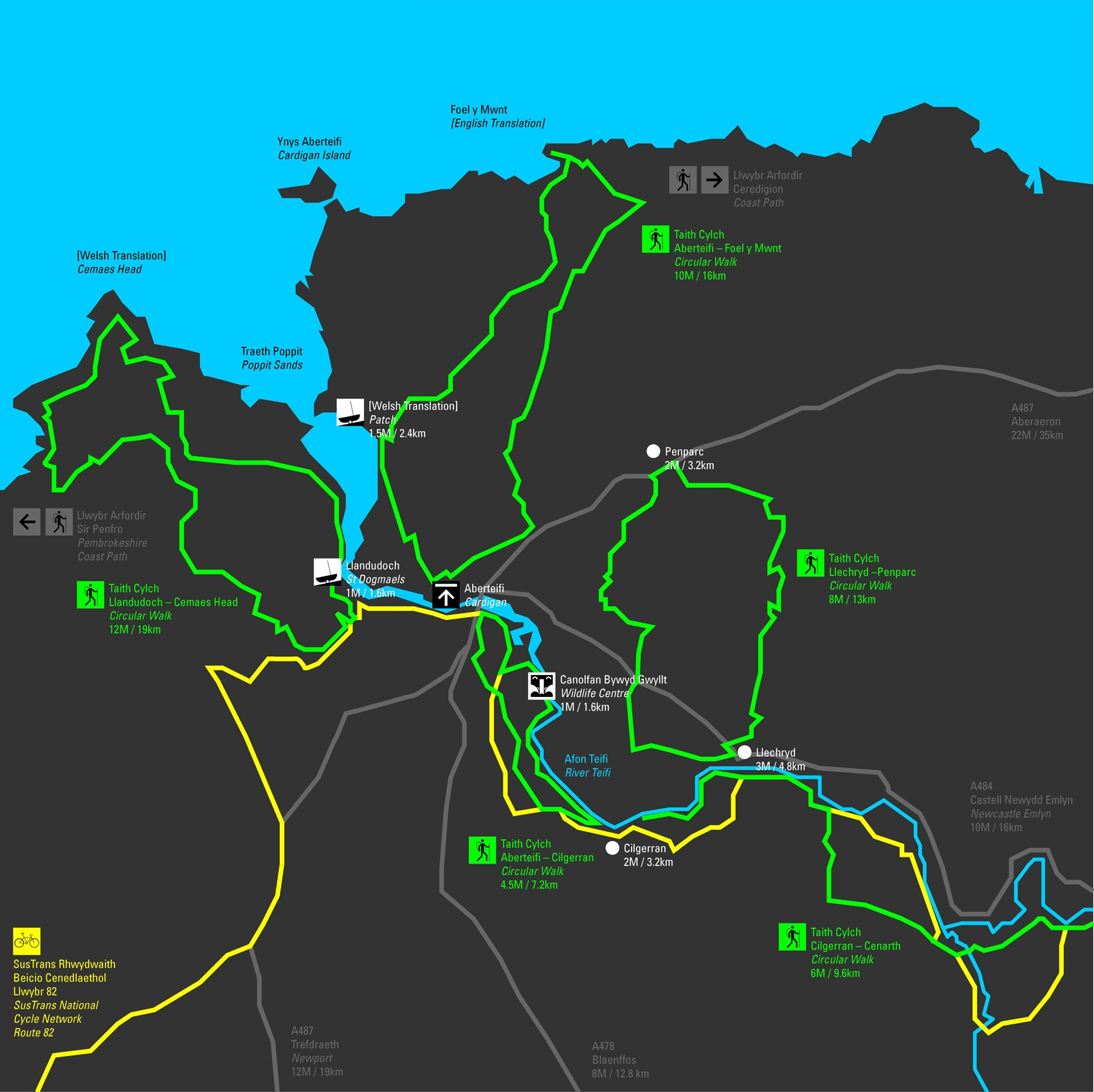
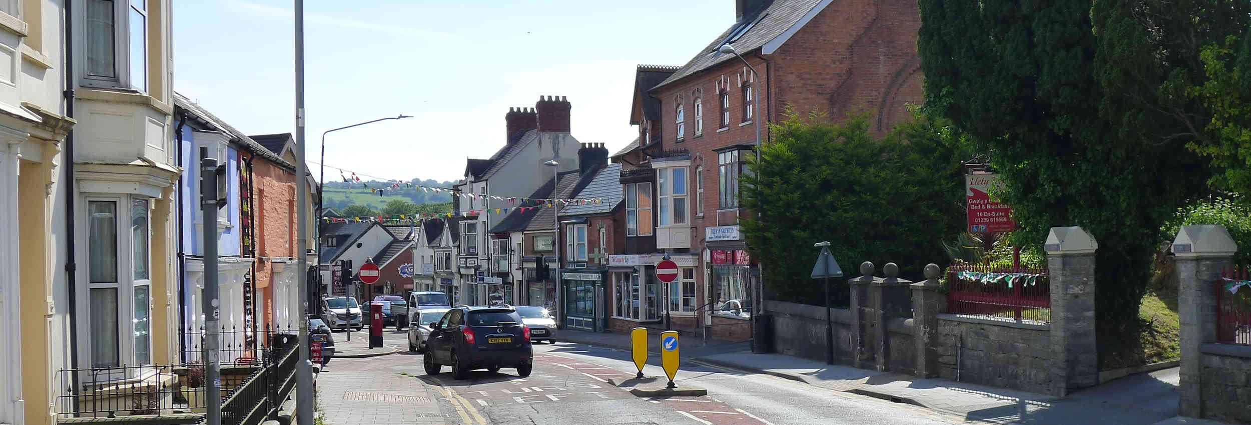
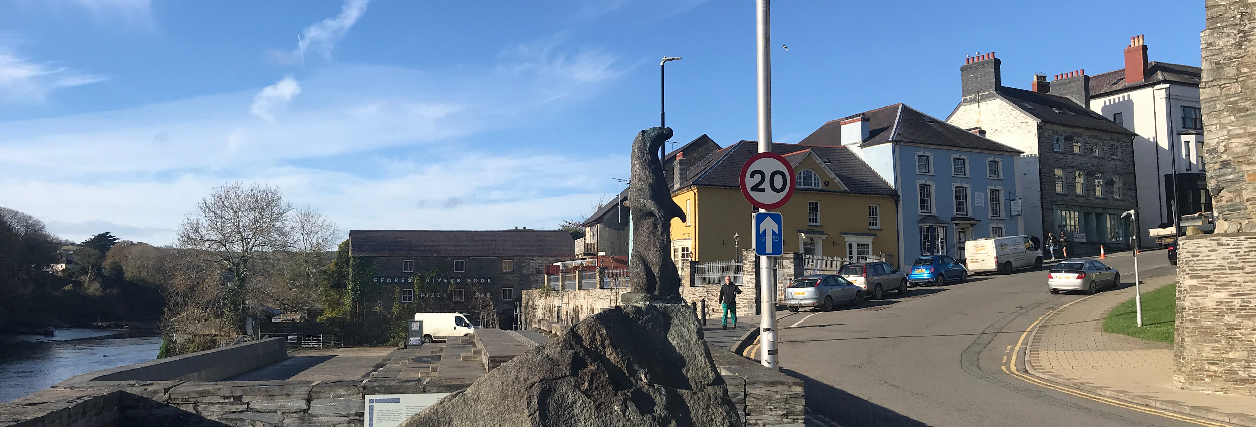
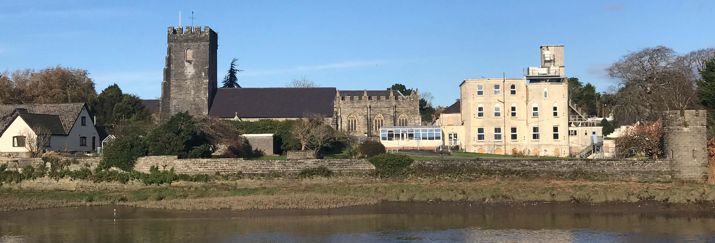
Cardigan, itself lies near the northern end of the Pembrokeshire Coastal Path and the southern end of the Ceredigion Coastal Path. The town lies on the River Teifi and walks extend from the town seaward to the estuary and landward into the river’s wooded valley. A few miles south of the town lie the Preseli Hills with their extensive open moorland vistas.
The Pembrokeshire Coastal Path starts in St Dogmaels on the southern flanks of the River Teifi about a mile from Cardigan. To Poppit Sands the path overlooks the sandbanks and saltmarsh of the Teifi estuary with its rich bird life.
At Poppit Sands the path climbs towards Cemaes Head to give spectacular views northwards across Cardigan Bay and southwards along the Pembrokeshire coast. Southwards to Newport the walk follows close to the edge of jagged cliffs that expose sweeping contorted strata.
Northwards along the coast are a series of small beaches. Mwnt, A National Trust site, is small and secluded, a good spot for dolphin watching whereas small village communities are found at Aberporth, Tresaith and Llangranog.
The West Wales Wildlife Centre lies on the side of the River Teifi south of the town and a footpath connects the two. The park is an extensive area of reed beds with a number of hides from which may be seen a wide range of birds and mammals. Otters live in the river and foxes may scavenge on the mudflats at low water. Inland from the park the river enters a narrow wooded gorge and there is footpath along this gorge for most of the way to the village of Cilgerran. Overlooking the gorge in the village are the remains of a wonderful 12th century castle. Villagers still fish for salmon in the river using coracles. The path extends along the riverside from Cilgerran to the old bridge at Llechryd where the gorge opens out into a wide flood plain.
About 10 miles south of Cardigan lie the Preseli Hills an extensive range of open moorland reaching a height of over 500m which are famous as being the site for the stones that make up Stonehenge. A network of footpaths crosses the hills.
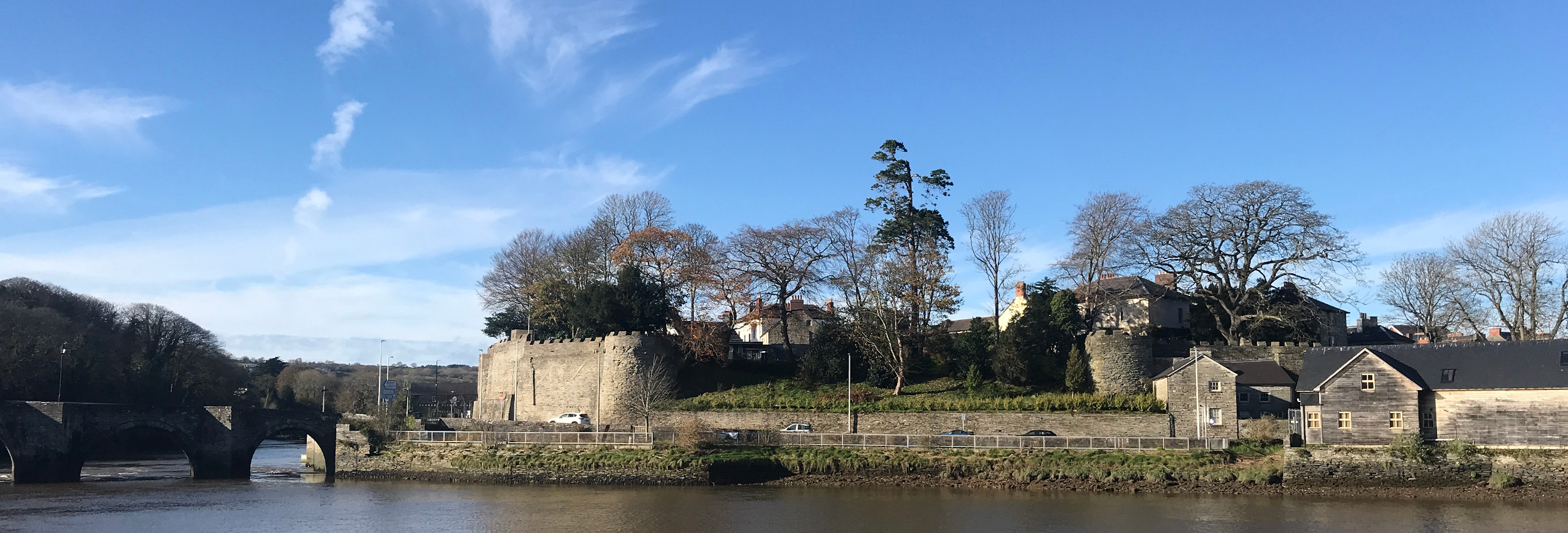
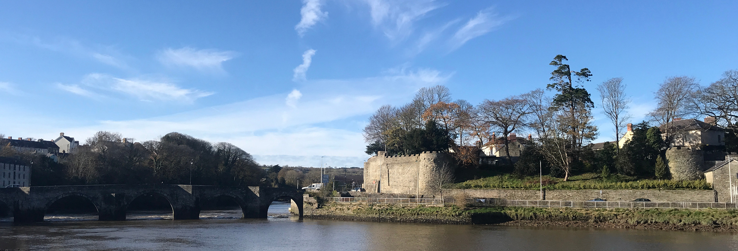
The whole of the Cardigan area is traversed by deep enclosed lanes rich in wild flowers and joined by a network of footpaths. The area has a rich history as testified by numerous Neolithic (2500-1400 BC) standing stones across north Pembrokeshire, the late Norman castles at Cardigan and Cilgerran and the abbey in St Dogmaels. In the 18th and 19th century numerous mansions were built by wealthy landowners in the lower Teifi valley, many are still occupied but few retain their original status.